Departure : Place de l'église d'Annevoie.
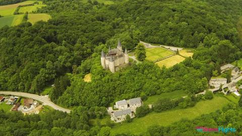
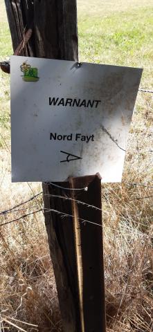
On the square, place yourself in such a way as to have a waterwheel on the left and the church of St-Antoine on the right and thus join the main road of Fraire. Go up the road to the left for about a kilometer. Take the first road on the left towards Mossiat. Neglect the road on the right. Just before the last house of Mossiat, take the road on the left. This one goes along the wood then enters it. Cross the Ry de Banse and reach the Saint-Hubert chapel. Take the track on the back left. After 1Km, at the exit of the wood, take the right track which rises steeply then goes down towards the first houses of Warnant. There, turn left on the macadamized road. At the beginning of a long right turn, take the path on the left next to a shed, which passes between the fields and under a power line. At the T-junction in the countryside, turn left towards a small wood. Cross this wood and go down to a farm that you go around on the left. After this one, turn right to enter the Rue des Campagnes à Hun. At the church St-Christophe, turn left towards Namur. After 200m, at the last house, turn left into the path that goes up in the woods. You will pass by the castle of Hun. After this one, go straight to join, near the farm of Annevoie, your starting point of the church at the back of the Gardens of Annevoie.
Ardennes-étape Privilege
With your reservation, you automatically receive one month of Premium access to SityTrail, a GPS app that allows you to discover lots of great trails near your holiday home!
How do you activate your free access to SityTrail?
- Go to your customer account, Benefits section
- Click the link to create your account on the SityTrail website
- Download the app
- Explore the Ardennes!
Altimetric profile
Explore the surroundings


/Holiday-cottage-Sauna-105494-01/Fiche_G-Holiday-homes-105494-01-Doische-(Dinant)-1529400-1L.jpg)
/Holiday-cottage-Swimming-pool-106303-01/Fiche_G-Holiday-homes-106303-01-Dinant-(Hastiere)-1273925-1L.jpg)
