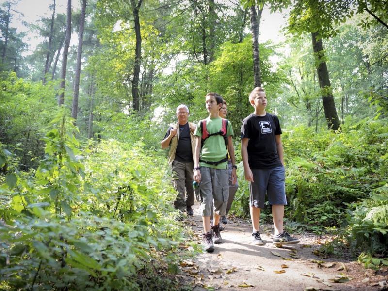
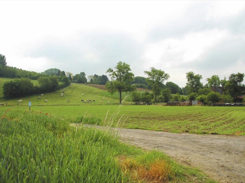
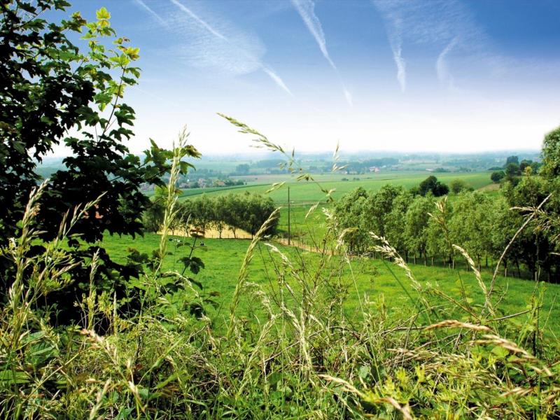
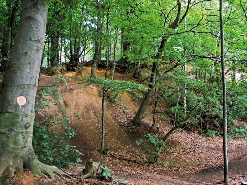
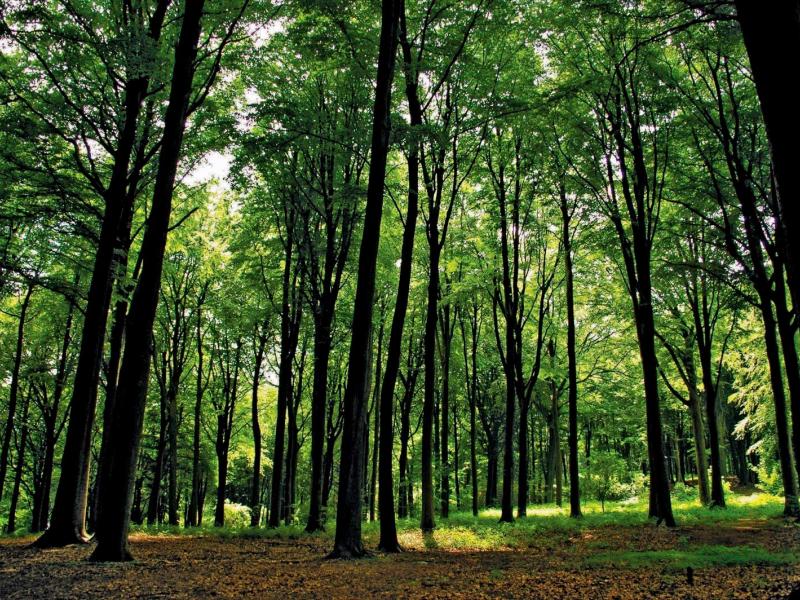
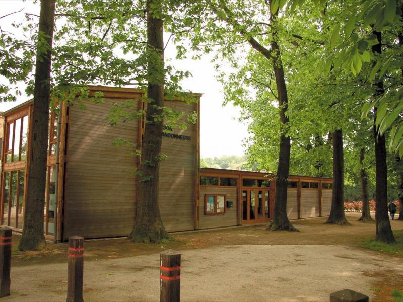
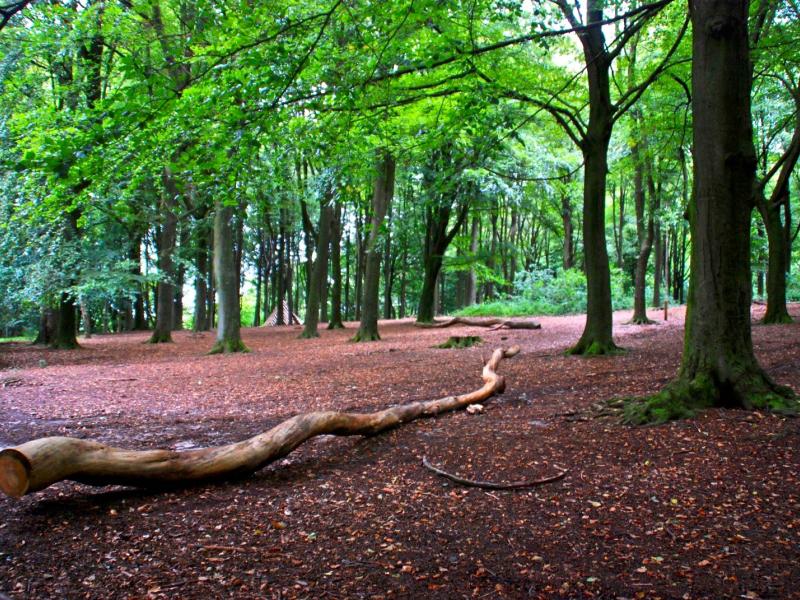
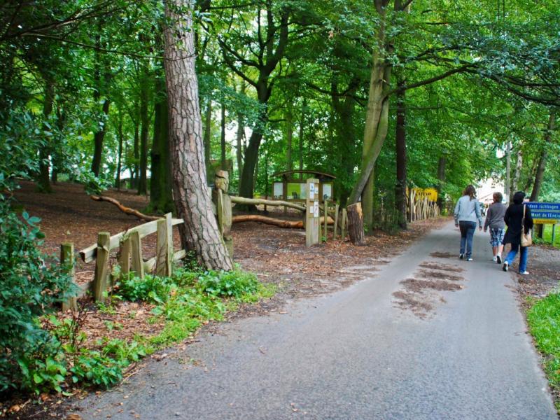
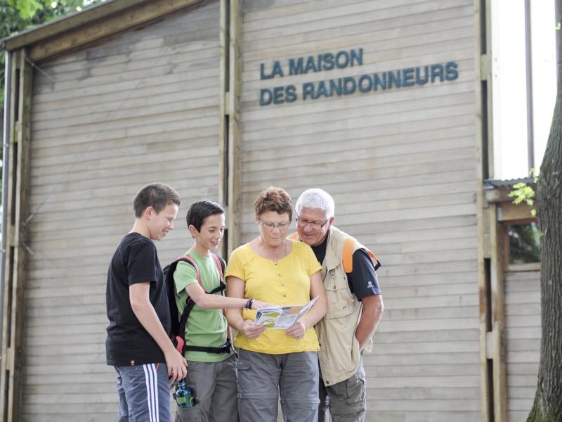
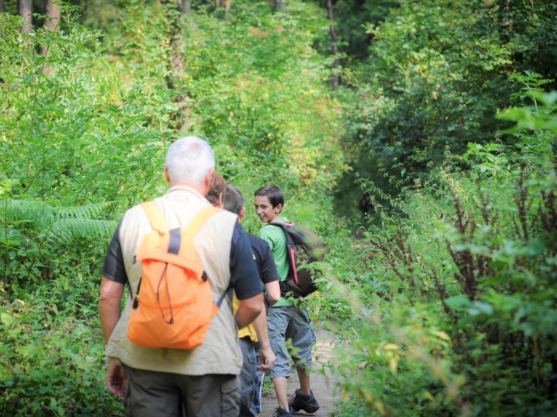
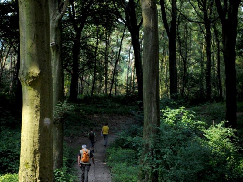
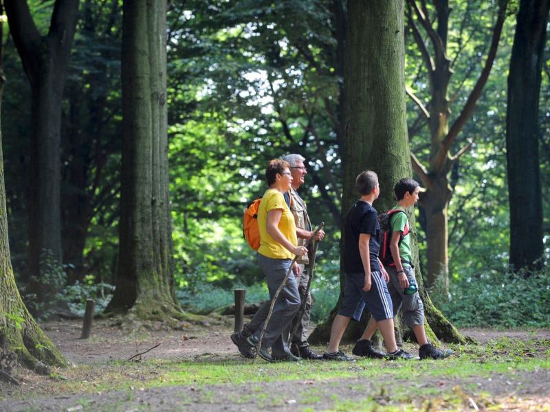
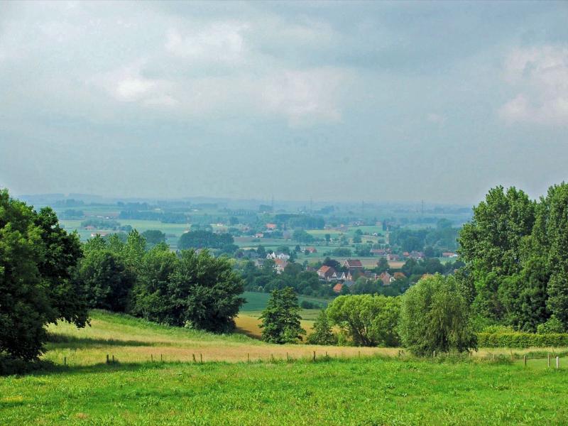
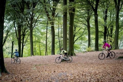
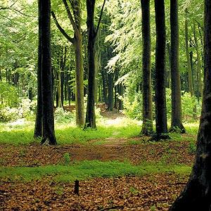
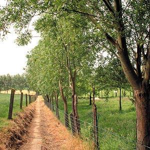
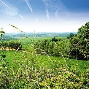
Lovers of inclinations, fans of steep paths... you are at the top of the Pays des Collines. A breathtaking view of the Mont-de-l’Enclus, Tournai, the Mont-Saint-Aubert and the Scheldt plain awaits you. At the border of Flanders and Wallonia, you will successively follow roads, dirt roads and forest trails that will lead you on the ridge. On the route, do not hesitate to have a little break in one of the many cafes-restaurants or even at the Maison des Randonneurs, where other “hiking” ideas await you.
Hike nodes : START 32-30-27-26-28-36-38-42-40-37-32 END
Ardennes-étape Privilege
With your reservation, you automatically receive one month of Premium access to SityTrail, a GPS app that allows you to discover lots of great trails near your holiday home!
How do you activate your free access to SityTrail?
- Go to your customer account, Benefits section
- Click the link to create your account on the SityTrail website
- Download the app
- Explore the Ardennes!
Altimetric profile
Explore the surroundings


