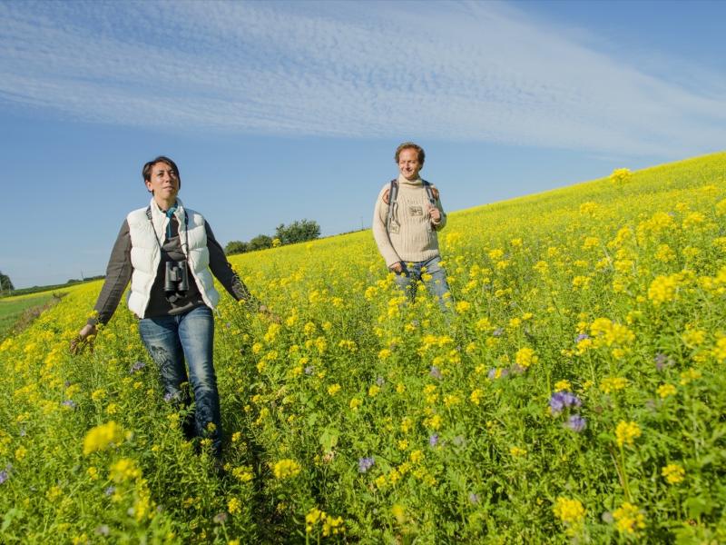
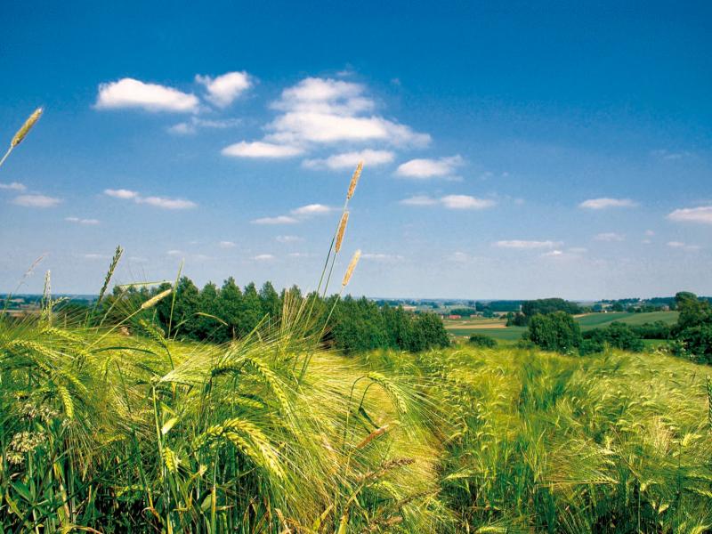
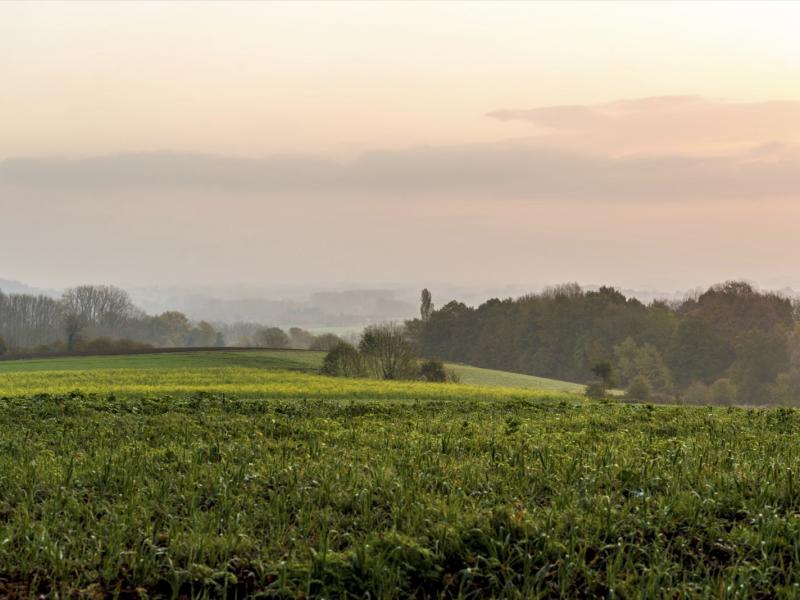
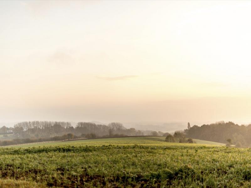
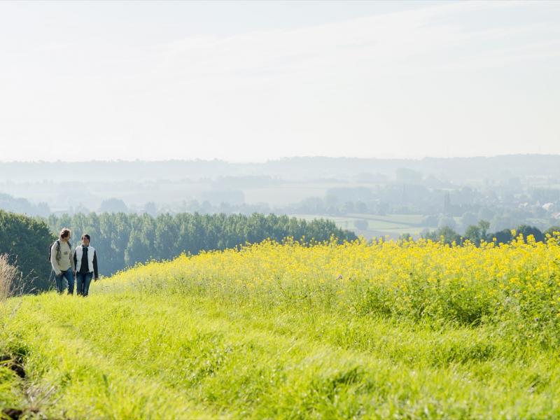
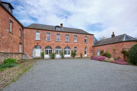
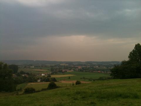
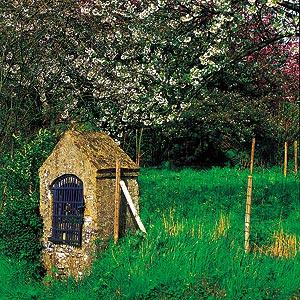
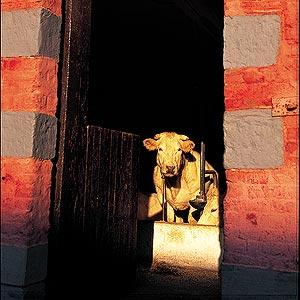
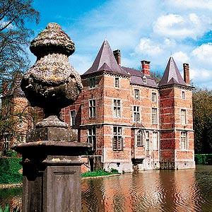
The short walk climbing incessantly... leads us to the "mountain" of Saint-Sauveur, located at 133 meters altitude. A place where you can breathe the fresh air. Not to mention this immense panorama that pleases the eye. In the quiet of the serpentine roads, trails along woods and green valleys dotted with red roofs, this bucolic circuit helps us discover a once popular holiday resort the “Beau Site".
Hike nodes : START Place de Saint-Sauveur- 28-36-35- Place de Saint-Sauveur to 28 END
Ardennes-étape Privilege
With your reservation, you automatically receive one month of Premium access to SityTrail, a GPS app that allows you to discover lots of great trails near your holiday home!
How do you activate your free access to SityTrail?
- Go to your customer account, Benefits section
- Click the link to create your account on the SityTrail website
- Download the app
- Explore the Ardennes!
Altimetric profile
Explore the surroundings


