Distance :
20.08km
Difficulty :
Intermediate
Duration :
2h 59
Elevation gain :
264m
Elevation loss :
212m
Starting point :
49.97757,4.17225
Description
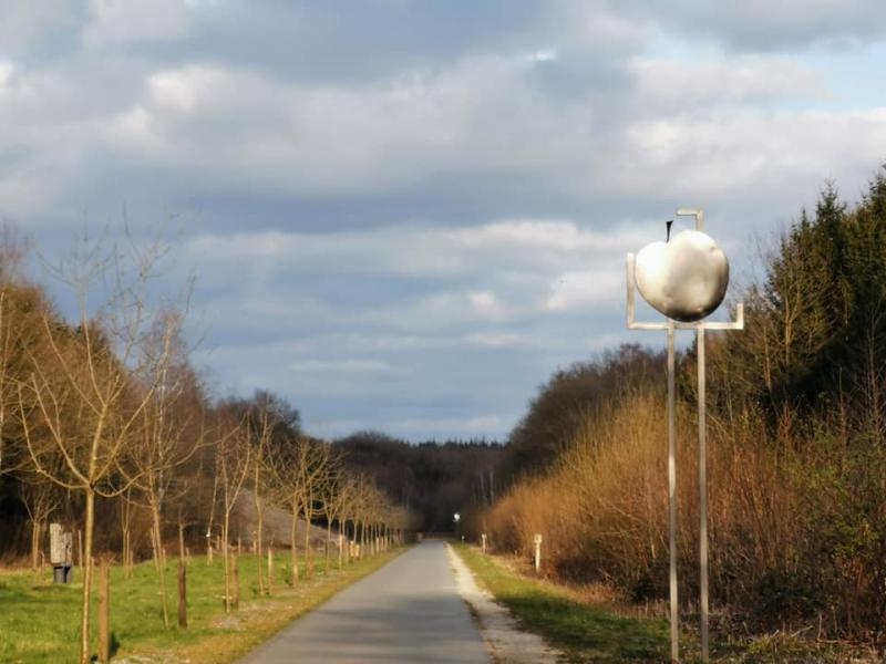
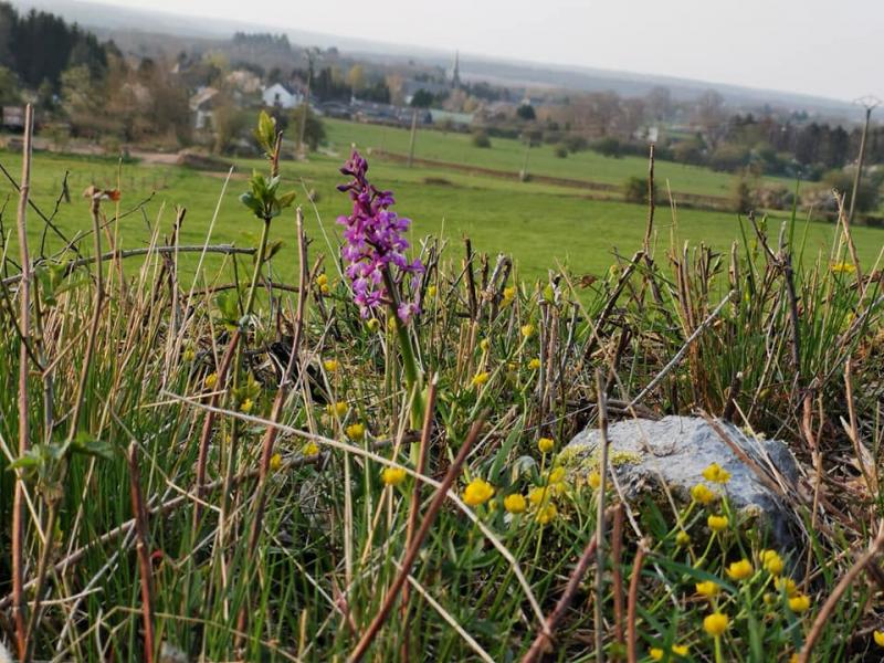
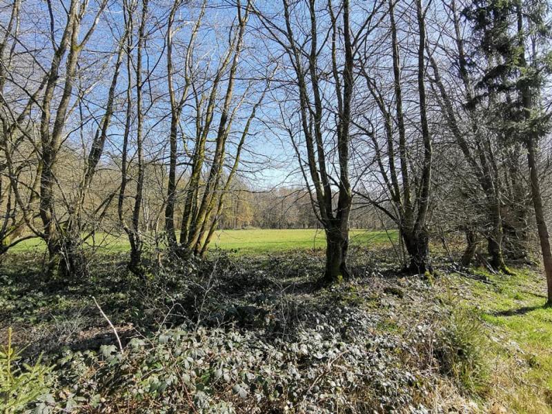
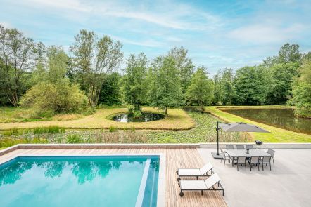
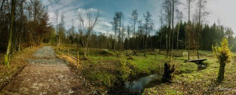
Parcours très forestier associant chemins, sentiers, RAVel et petites routes de campagne. Le Bois de la Mazure est superbe. vue et calme des plus agréables sur l'Etang de la Fourchinée.
Revêtement macadamisé =/- 10%
Ardennes-étape Privilege
Loading...
With your reservation, you automatically receive one month of Premium access to SityTrail, a GPS app that allows you to discover lots of great trails near your holiday home!
How do you activate your free access to SityTrail?
- Go to your customer account, Benefits section
- Click the link to create your account on the SityTrail website
- Download the app
- Explore the Ardennes!
Altimetric profile
Explore the surroundings


